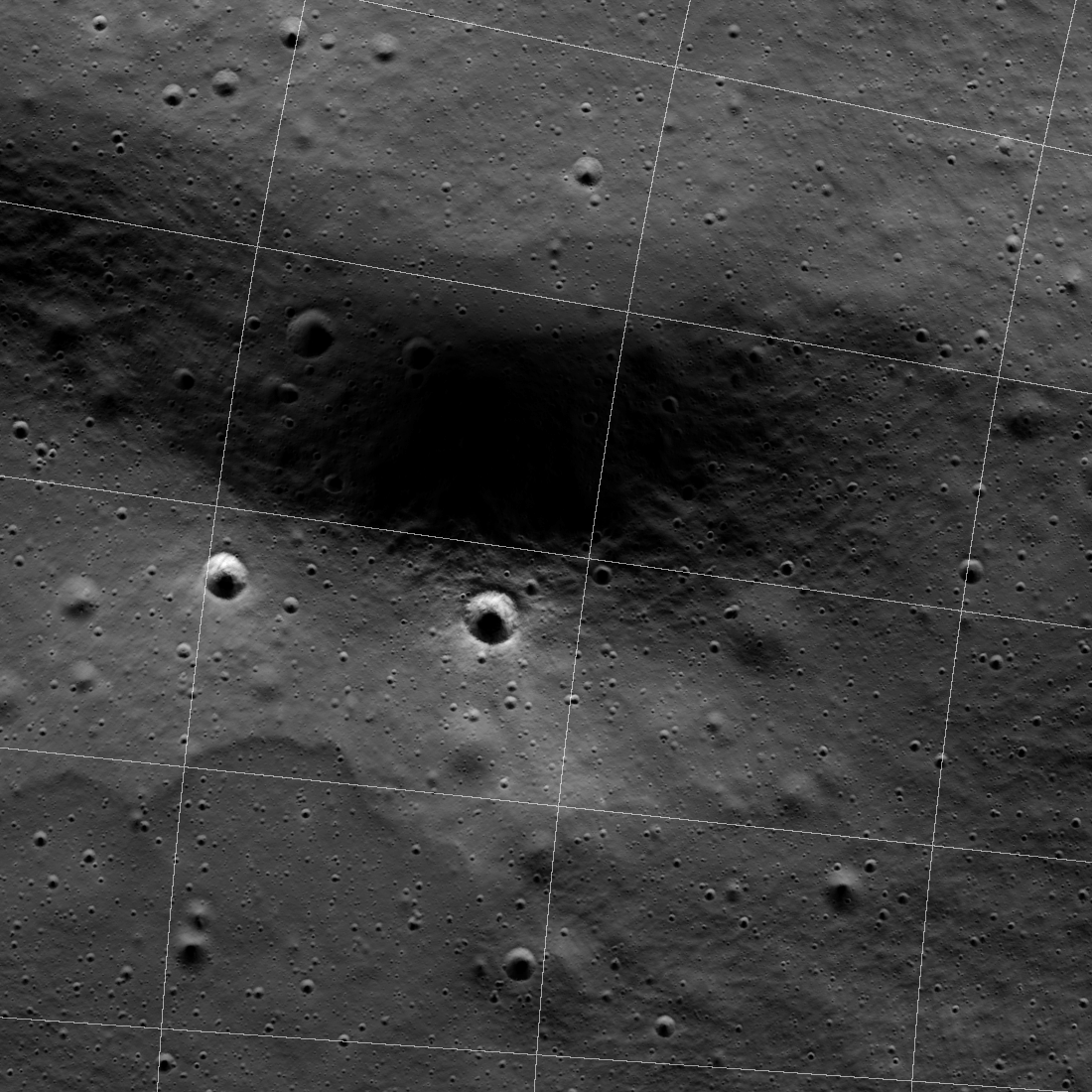
Spudis Crater PSR

The scalloped boundary likely formed when a landslide reached the bottom of the east wall and stopped abruptly against a large debris pile. Alternatively, rather than a landslide, the deposit formed as impact melt flowed down the east crater wall. In either case, a sharp topographic boundary, seen in LOLA laser ranging data, corresponds with the boundary. The distinctive irregular shape of Spudis crater is because it formed along the base of a prominent ridge that is likely part of a now heavily degraded ancient basin. The west rim is more than 500 meters lower than the east rim; identifying the east rim is difficult as the crater wall blends into the steeply sloping ancient ridge.
The zoomable mosaic shown below is a combination of Lunar Reconnaissance Orbiter Camera (LROC), Narrow Angle Camera (NAC), and ShadowCam images (M0210008438S, M021022053S, M021043263S). The NAC images show ground directly illuminated by the Sun, while ShadowCam was designed to image those areas illuminated only with secondary sunlight. That is, light reflected off nearby illuminated ground into shadowed areas (both PSRs and temporarily shadowed areas). Below, the boundaries between the two datasets are somewhat confusing because they were acquired at different times. Also, the ShadowCam images did not cover the shadowed areas in the upper right of the NAC mosaic. The full NAC mosaic is available within Quickmap and was constructed from images acquired in 2009 and 2010.
Spudis crater was named to honor the many significant contributions made by Dr. Paul Spudis. Paul was a tireless advocate for lunar science and exploration; some of his ideas are preserved on the Smithsonian Magazine web portal and his blog.
Related Featured Images
Posted by Mark Robinson on 1 June 2023